More flood warnings in place as river levels start to rise around Mansfield
and live on Freeview channel 276
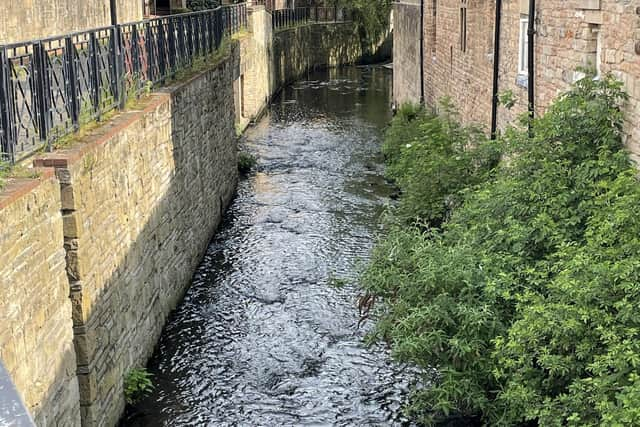
Warnings are in place for the River Maun at Mansfield including Bleak Hills and The Park and Edwinstowe and Ollerton including the junction on A614 Mansfield Road and Ollerton Road.
River levels have also risen at the Mansfield The Dykes river gauge so flooding of property/roads and farmland is possible.
Advertisement
Hide AdAdvertisement
Hide AdAreas most at risk are Edwinstowe, Ollerton, the Sherwood Forest Caravan Park and properties near Kings Clipstone.


And river levels are forecast to rise at the Mansfield Pleasley Chesterfield Road North river gauge. Consequently, flooding (of property) is imminent.
Areas most at risk are Chesterfield Road and Meden Square, to the east of Pleasley Bridge.
Further heavy rainfall is forecast over the next 48 hours and river levels will continue to rise over the weekend.
Advertisement
Hide AdAdvertisement
Hide AdRiver levels are forecast to rise at the Church Warsop river gauge so flooding of roads and farmland is possible.
Areas most at risk are low-lying agricultural land and roads along the River Meden around Warsop, Church Warsop, Meden Vale and Budby.
And River levels have risen at the Whitewater Bridge river gauge.
Areas most at risk are low-lying agricultural land and roads around Mansfield, the Sherwood Forest Caravan Park at Clipstone, Edwinstowe, Ollerton, Whitewater Lane at Whitewater Bridge and West Drayton.
Motorists are advised to plan their driving routes to avoid low-lying roads near rivers, which may be flooded.